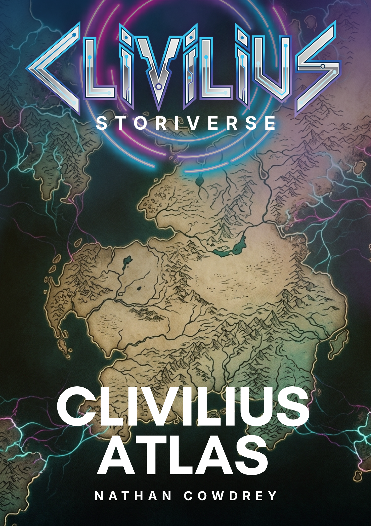
Clivilius Atlas
The Clivilius Atlas is the authoritative geographic, institutional, and historical register of the settlements, territories, organisations, and facilities — both ancient and modern — that constitute the world of Clivilius. Compiled and maintained by the Cartographic and Heritage Commission under the authority of the Clivilius High Council, the Atlas serves as both a public reference for those navigating the vast and still incompletely understood geography of Clivilius and a classified strategic resource for the Council and its allied agencies. Though the initiative to compile a single comprehensive Atlas was launched in 2019, the world it documents spans nearly four and a half thousand years of habitation, encompassing ancient ruins and forgotten territories alongside the modern settlements that have taken root since the reopening of Portal access. From the founding settlement to the most recently charted outposts, and from the earliest traces of civilisation buried beneath dust and stone to the governance structures being tested today, the Clivilius Atlas is at once a cartographic record, a work of historical recovery, and a tool of governance for those responsible for guiding a world that is being rediscovered as much as it is being built.
Origins and Mandate
The Clivilius Atlas was commissioned by resolution of the Clivilius High Council during its early conclaves in 2019, in recognition that the rapid expansion of modern settlements and the simultaneous rediscovery of Clivilius's ancient geography demanded a centralised and continuously updated record. Clivilius is not a new world. Its history stretches back nearly four and a half millennia, across which civilisations have risen and declined, territories have been settled and abandoned, and structures of governance, worship, learning, and commerce have been built, destroyed, and buried beneath the landscape that greets the present generation. Much of this history had been lost, fragmented, or preserved only in oral tradition and scattered artefacts by the time the current wave of arrivals began. The Atlas was conceived to address this: not merely to map the world as it exists today, but to recover, document, and preserve the full depth of Clivilius's geographic and institutional past.
The Cartographic and Heritage Commission, an inter-realm body operating under the Council's authority and responsible for administering both the Clivilius Atlas and its companion Earth Atlas, was charged with the work's compilation, maintenance, and periodic revision. The Commission's mandate extends beyond public documentation. It operates in close coordination with the Clivilius Secret Service and other agencies of the High Council to ensure that the Atlas functions not only as a reference work for general consumption but as a strategic instrument. Classified annexes, accessible only to authorised personnel, supplement the public entries with operational intelligence: security assessments of settlements both modern and rediscovered, infrastructure analyses, population movement data, resource inventories, and evaluations of ancient sites whose strategic or historical significance is still being determined. The Atlas is, in this respect, both a map and a mirror — it shows Clivilius as its citizens see it, and as its governors need to understand it.
Scope and Structure
The Atlas is organised according to the geographic and administrative hierarchy of Clivilius, encompassing both the modern settlements established since the reopening of Portal access and the ancient territories, ruins, and landmarks that predate the current era by centuries or millennia. Entries proceed from the broadest territorial divisions down through individual settlements — whether thriving communities or uninhabited sites of archaeological significance — to the specific institutions, facilities, and organisations within them.
Modern settlements are documented with attention to their founding dates, physical geography, population, governance structures, and the conditions — environmental, strategic, or communal — that shaped their development. Ancient sites receive treatment proportionate to what is currently known, with entries revised and expanded as archaeological survey work, oral testimony, and archival recovery yield new understanding. In many cases, the Commission's field surveyors have encountered ruins whose original purpose, age, and cultural context remain subjects of active investigation; the Atlas records what has been established while acknowledging what has not, maintaining a distinction between verified knowledge and informed conjecture that is essential to its credibility as a reference work.
Organisations receive entries that account for their purpose, leadership, membership, and relationship to the broader governance of Clivilius — whether they are modern bodies created to address the needs of the current population or reconstructed institutions whose roots reach into the ancient past. Facilities — whether educational, medical, commercial, or cultural — are described in terms of their function, history, and significance to the communities they serve. The layered structure reflects the reality that Clivilius, though its modern settlement is young, possesses a depth of history and a complexity of geography that no single generation could hope to map in full.
Rediscovery and Recovery
The central challenge of the Clivilius Atlas is that it documents a world that is being rediscovered at the same time as it is being resettled. The current generation of inhabitants is not the first to build upon this land, and the Commission's work frequently involves reconciling the geography of the present with the traces of the past. Ancient roadways surface beneath modern construction. Ruins of settlements whose names have been forgotten are found at distances from established communities that suggest patterns of habitation, trade, and movement far more extensive than the current population occupies. Structures of unknown purpose — some monumental, some modest — are encountered in territories that the modern map had left blank.
The Commission's field surveyors, working alongside archaeologists, historians, and specialists in Clivilius's oral traditions, undertake the painstaking work of documenting these discoveries and integrating them into the Atlas. Each ancient site is surveyed, photographed, and assessed for historical significance, structural stability, and potential strategic value. Where sufficient evidence exists, entries are compiled that reconstruct the site's original function and place it within the broader chronology of Clivilius's development. Where evidence is fragmentary, the Atlas records what is known and flags the site for further investigation, ensuring that no discovery is lost to neglect or oversight even when its full meaning cannot yet be determined.
This work of recovery is not merely academic. Understanding where previous civilisations settled, what resources they exploited, what routes they travelled, and why certain territories were abandoned provides intelligence of direct practical value to those governing the modern world. The Commission treats the ancient geography of Clivilius not as a curiosity but as a source of strategic knowledge — knowledge that may illuminate the opportunities and hazards that the current generation faces as it expands into territories whose histories are older and more complex than they appear.
The Living Present
Alongside its historical and archaeological dimensions, the Clivilius Atlas maintains a comprehensive and continuously updated record of the modern world. New settlements are documented as they are founded. Existing communities are revisited as they grow, as their governance evolves, and as their institutional landscape develops. Organisations created to address a specific crisis may evolve into permanent features of civic life; facilities built as temporary measures may become the anchors of entire communities. Portal access points shift, new territories are explored, and the boundaries of the known world move outward with each expedition and each wave of arrivals.
The Commission's responsiveness to this dynamism is essential. Field surveyors operate across Clivilius, gathering data on new and existing settlements, verifying institutional records, and updating the classified annexes that support the Council's strategic planning. The Atlas is revised on a rolling basis, with entries amended as circumstances change and new entries added as the geography of Clivilius expands. The result is a document that captures the world not as a fixed image but as a process — a civilisation in motion, simultaneously reaching backward to understand its past and forward to determine its future.
Governance, Intelligence, and Public Trust
The dual nature of the Atlas — public reference and classified resource — reflects the broader philosophy of the Clivilius High Council, which has sought from its inception to balance transparency with the operational secrecy necessary to protect a civilisation whose security cannot be taken for granted. The public Atlas is available to all citizens of Clivilius and is intended to foster a sense of shared knowledge and collective ownership of the world they inhabit — both its modern communities and its ancient heritage. The classified annexes exist to ensure that the Council, the Clivilius Secret Service, and their allied agencies possess the detailed, unvarnished intelligence required to anticipate threats, allocate resources, and make decisions whose consequences may not be visible to the wider population.
The Commission navigates this tension with care. The integrity of the public Atlas depends upon the trust of the citizens who consult it, and that trust depends upon the accuracy and completeness of the information it contains. Where classified material must be withheld, the Commission ensures that the public record is not distorted by the omission — that what citizens see is true, even if it is not the whole truth. This principle, established in the Commission's founding charter and reaffirmed by the High Council at successive conclaves, governs every entry in the Atlas and every revision the Commission undertakes.
The Clivilius Atlas is, in the end, more than a map. It is a record of what has been built across millennia and what is being built today, a guide to what exists and what has been rediscovered, and a tool for those charged with deciding what comes next. The Commission maintains it in the conviction that a world nearly four and a half thousand years old — one whose earliest chapters are only now being read for the first time by the generation that walks its ground — deserves a record equal to the depth of its history and the ambition of its present.